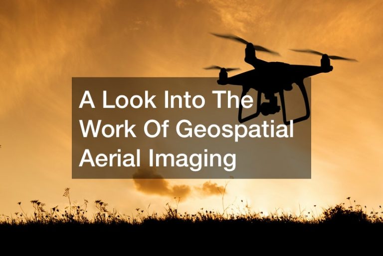
Geospatial aerial imaging has allowed scientists to examine natural or manmade environments with precision and accuracy. If you are thinking...
Geospatial aerial imaging has allowed scientists to examine natural or manmade environments with precision and accuracy. If you are thinking...
Copyright © All Rights Reserved. Forum Rating - Sitemap